I know a fair few ecologists and they asked where they could find style files to make their Phase 1 Habitat Maps look right. They sent me several links to show me what they were looking to achieve:
I read through these websites and the Ecologists spoke to me at length how they intended on working with QGIS to create maps from their field work.
I thought it was a great idea! The existing style files available for download were fairly out of date (2015 or earlier) and QGIS had recently released a new
LTR.
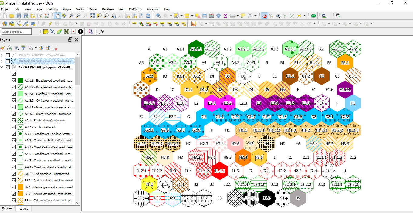
I started on the polygons first and created a grid (hexagon, because it looked pretty) and joined the JNCC codes in the spreadsheet they supplied me with to one
of the hexagons. I loaded one of the previous QGIS style files and made my edits whilst referencing the JNCC documentation. Once I'd finished the polygons they
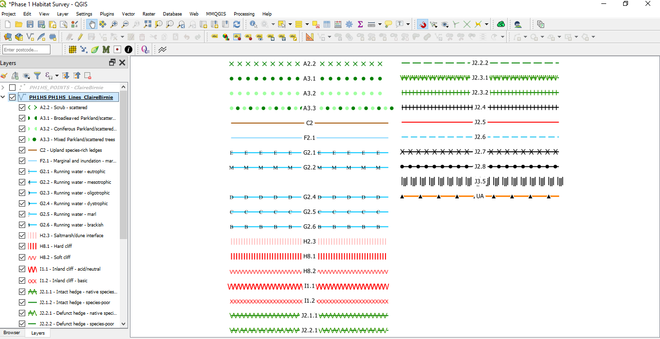
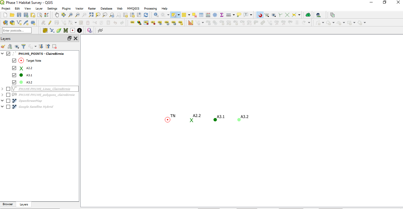
told me which lines and points they'd want to digitise and I made the styles for those.
The below images are the finished style files on the polygons, lines and points. Please click each one to zoom into them. I've made these available on my
Github and you're welcome to use them in your
work.